Search:
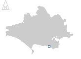
Kimmeridge Bay
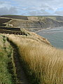
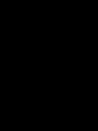
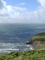
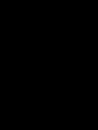
Characterised by its dark – fossil rich – shale beds, Kimmeridge Bay lies between the white chalk cliffs of Tyneham and Lulworth to the west and the pale grey limestones of the Isle of Purbeck to the east. Seen here on a blustery, rainy day in late October the ever changing light adds drama to a relatively short walk from the bay eastwards to Houns-tout, returning via Swyre Head. The strong wind giving the opportunity for some high-speed sailboarding across the bay.
|
|
|
|
|
|
|
|
|
|
|
To view any image full size - simply click on the thumbnail
| ||||
Find out more ... |
|
In the top row of pictures:
In the bottom row of pictures:
Kimmeridge Bay also features in the monthly gallery February 2003 Nearby locations that also feature in galleries on this site: More views of Dorset in October Other sites on the webThe coastline shown here forms part of the Jurassic Coast World Heritage Site If you intend to walk along the coast between Lulworth Cove and Kimmeridge then check the Defence Estates web page first for details regarding access to this part of the coast. West's Geology Field Guide to the Kimmeridge area The Dorset Page: Kimmeridge – local information and links to further resources on the web Maps of the area on streetmap.co.uk: 1:50,000 – detail, 1:250,000 – locality and route to get there
|